Map of Dundas, 1851

$25.00

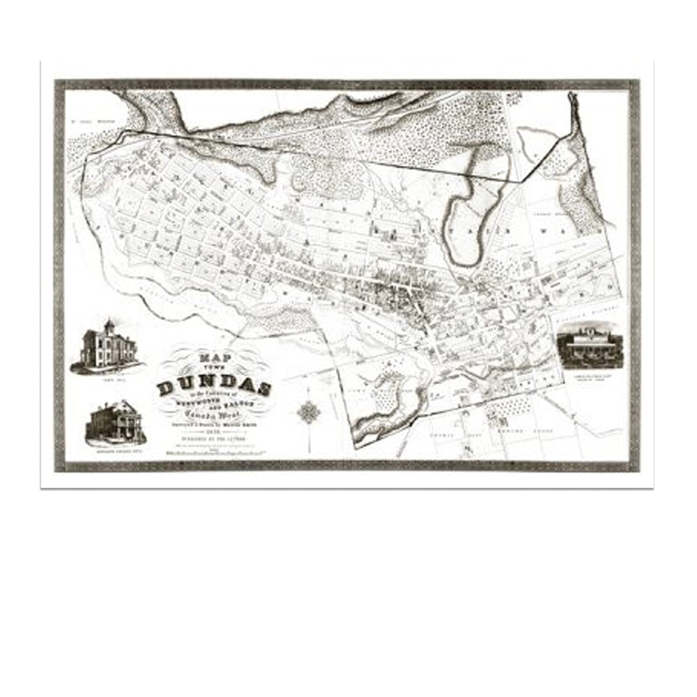
A copy of the map of the Town of Dundas in the Counties of Wentworth and Halton, Canada West, dated 1851, surveyed and drawn by Marcus Smith. In one corner, there is a picture of the town hall with steps at the south end of the building and double steps at the east side entrance. Below is a picture of The Merchant Exchange Hotel with saddle horses tied to the hitching post. In another corner, there is an engraving of the residence of James Coleman, Mayor of Dundas, later occupied by J. B. Grafton and the family known as “The Maples” on Cross Street.

The map measures 29″ by 19″, measured from the decorative border.

Reproduced in 1972 by the Dundas Heritage Society. Reprinted for the Dundas Museum and Archives by McMaster Fine Art.

In stock

SKU: MAP001 Categories: , , Tags: ,

Description

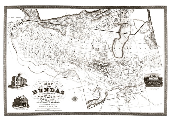
A copy of the map of the Town of Dundas in the Counties of Wentworth and Halton, Canada West, dated 1851, surveyed and drawn by Marcus Smith. In one corner, there is a picture of the town hall with steps at the south end of the building and double steps at the east side entrance. Below is a picture of The Merchant Exchange Hotel with saddle horses tied to the hitching post. In another corner, there is an engraving of the residence of James Coleman, Mayor of Dundas, later occupied by J. B. Grafton and the family known as “The Maples” on Cross Street.

The map measures 29″ by 19″, measured from the decorative border.

Reproduced in 1972 by the Dundas Heritage Society. Reprinted for the Dundas Museum and Archives by McMaster Fine Art.
Additional information

Weight 5 oz